Main Article Content
Abstract
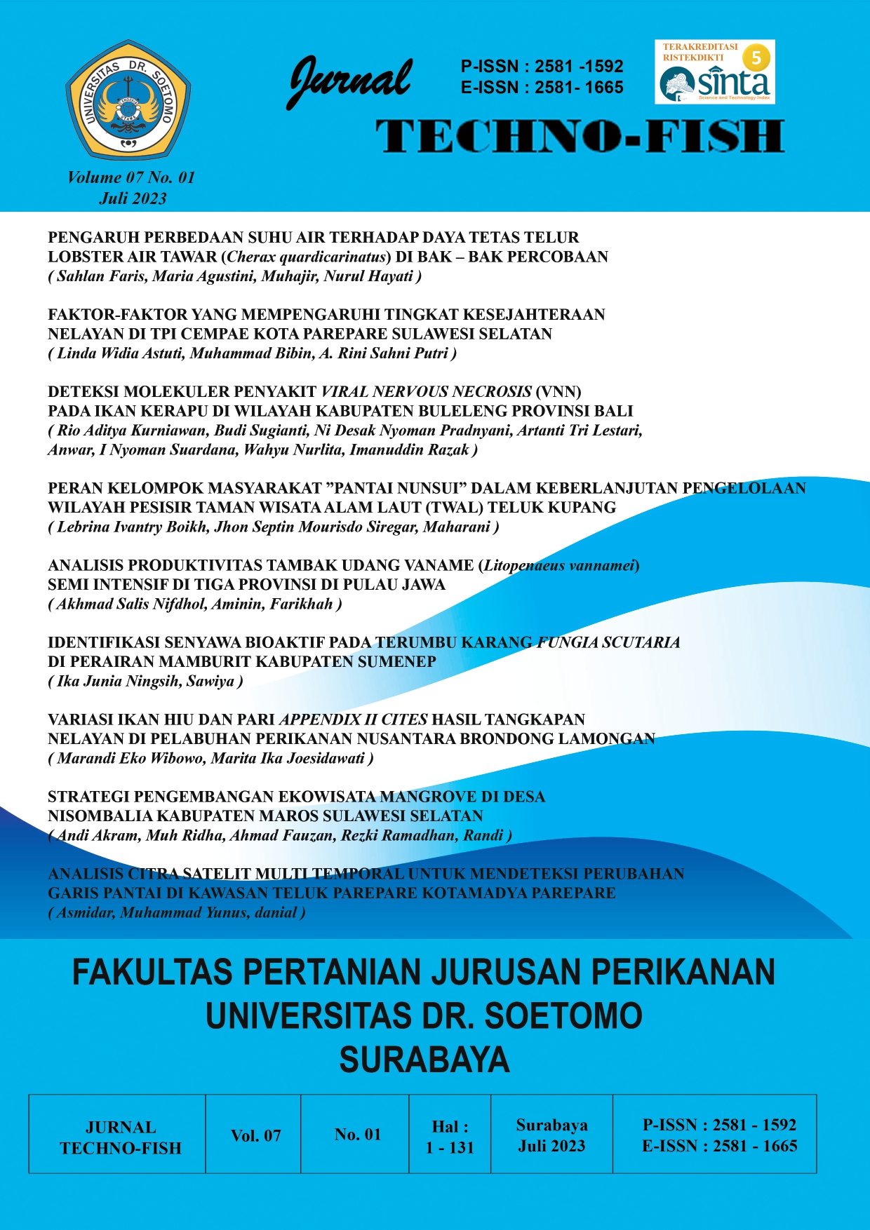
Limited land has encouraged the local government to carry out reclamation for the development of coastal areas, taking or transferring the function of coastal protection land. Reclamation has been carried out in every sub-district in Parepare City, such as the construction of an embankment in Soreang District, land expansion and construction of a port area in Ujung District, and the development of beach tourism in West Bacukiki District. Development in coastal areas that are not in accordance with applicable regulations and causes an imbalance sediment transport along the coast.The purpose of this study was to determine changes in the coastline in the Pare-pare Bay area within a period of 20 years using remote sensing satellite imagery data and find out the causes of changes in the coastline in the Pare-pare Bay area.Its use is expected to provide information about changes in the coastline in the City of Pare-pare, in order to assist the local government in making policies in the management of coastal and marine areas in a sustainable manner and also in making spatial plans for the City of Parepare. The method used in this research is to collect spatial data in the form of 2001 Landsat 7 and 2021 Landsat 8 images. The spatial data analysis uses the method of making polygons using measure tools on the resulting map overlay in the GIS application. The results of the study in the Parepare Bay Area concluded that the magnitude of the shoreline change in the Parepare Bay Area within a 20 year period was 22.47 Ha. The length of the coastline has increased by 0.22 km. Changes in the coastline in the Parepare Bay Area are caused by natural factors and human activities. Natural factors in the form of waves, currents and tides. While the factor of human activity in the form of reclamation along the coast of Parepare Bay.
Keywords
Article Details

This work is licensed under a Creative Commons Attribution-NonCommercial-NoDerivatives 4.0 International License.

This work is licensed under a Creative Commons Attribution-NonCommercial-ShareAlike 4.0 International License
References
- Agus IM, Putra W, Susanto A, Soesanti I. Ekstraksi Garis Pantai Pada Citra Satelit Landsat dengan Metode Segmentasi dan Deteksi Tepi. 2015;4:115–20.
- Handiani DN, Heriati A. Analisis Sebaran Parameter Kualitas Air dan Indeks Pencemaran di Perairan Teluk Parepare-Sulawesi Selatan. J Ilmu Lingkung. 2020;18(2):272–82.
- Pritam Chand PA. Shoreline change and sea level rise along coast of Bhitarkanika wildlife sanctuary, Orissa: An analytical approach of remote sensing and statistical techniques. Int J GEOMATICS Geosci [Internet]. 2010;Volume 1(3):436–55. Available from: https://www.academia.edu/8697190/Bhitarkanika_shoreline_change
- Tarigan, M. S. (2007). Perubahan garis pantai di wilayah pesisir perairan Cisadane, Provinsi Banten. Makara sains, 11(1), 49-55
